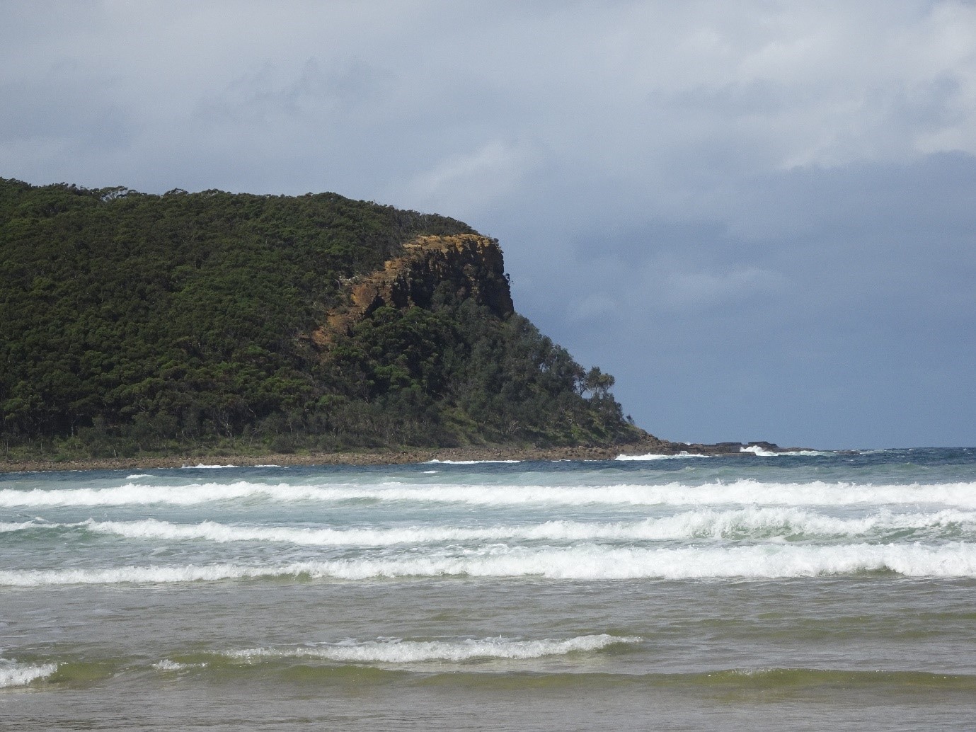
Point Upright
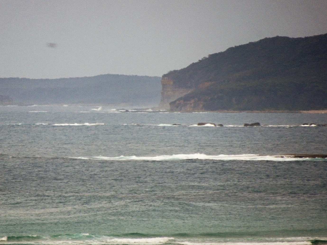
Grade 4: A little known site which is well worth visiting as the immediate area is much as it was when Cook passed by. From North Durras, north of Batemans Bay, walk north along the usually deserted beach. The headland is Point Upright, an 80m orange sandstone cliff which from the sea would stand out from the green sameness of this lovely wild coast. From the far end of the beach there are two paths. One runs to the right and leads to the cliff face, while a second climbs upwards to the ridge and along to the top of the cliff. This ’bluff head’ can also be viewed from the north (see below).
Situation: Approximately 15km NE of the town of Batemans Bay, north of North Durras, on the south coast of New South Wales.
Coordinates (decimal): 35.63 S 150.32 E
Endeavour Journal, 22 April 1770:
In the PM had a gentle breeze at SbW with which we steerd a long shore NbE and NNE at the distance of about 3 Leagues, saw the smook of fire in several places near the Sea beach. At 5 oClock we were abreast of a Point of land which on account of its perpendicular clifts I call’d Point Upright (Latde 35.35) it bore from us due west distant 2 Leagues…
Point Upright is a fine example of Cook’s naming of prominent and distinctive land features as a guide for later mariners as to their position on this coast. He describes it in the ship’s Log as ‘a remarkable bluff head’. By ‘remarkable’ he means worthy of remark, a feature that stands out on the coast even when some distance offshore. Cook was 2 leagues, nearly 10km offshore when he named it. He also uses the Point in his running survey the following morning referring ín the Log to ‘the bluff head last night S 56 W, 3 leagues’. Point Upright can be viewed at this angle, not far from Cook’s position, from the lookout on Snapper Point, south of Kioloa. This is a fine spot from which to view this coast which is still much as it was when Cook passed by.